


Where the firm works
Operating Territories
Twenty-two territories served in full.Design across the United States.
Where does Meridian Atelier work?
Meridian Atelier's service areas are twenty-two territories of Greater Los Angeles, where it provides all four of its services.
In Los Angeles the Principal oversees the build on site. Across the country the firm delivers The Master Plan (plans) and The Curation Commission (furnishings) to your local builder.
The Local Service Territories
Three zones, twenty-two territories in Greater Los Angeles.
Choose a territory on the map, or in the list below it, to see its terrain, hazards and building rules.
Greater Los Angeles
The full service: all four service offerings, governed on site by the Principal.
The United States
The Master Plan and The Curation Commission, delivered to your local builder.
The world
Beyond the United States, the publications alone: the firm’s method and standards, open to anyone as a guide.
The Westside, the Coast & the Canyons
Coastline and canyon define this ground. Builds answer to the California Coastal Commission, the Baseline Hillside Ordinance and soil and geological engineering requirements. We take on whole estates and complete interiors, and our oversight checks the builder's work against the agreed design.
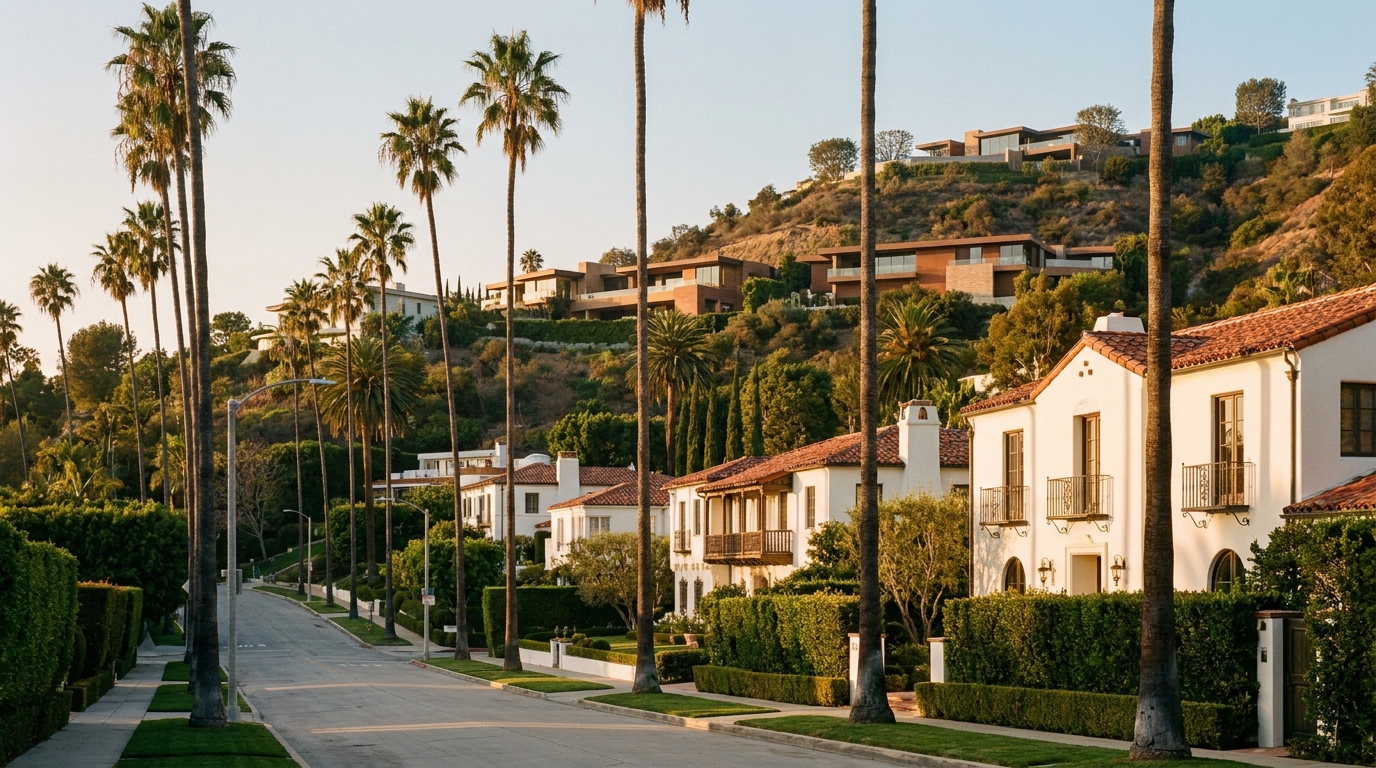

Beverly Hills
Hills and flats, Very High fire and landslide zones, and the City of Beverly Hills' hillside regulations.
34°05′ N · 118°24′ W
Bel Air & Holmby Hills
Hillside lots throughout, a Very High fire zone over landslide ground, and the Baseline Hillside Ordinance.
34°05′ N · 118°26′ W
Hollywood Hills & the Bird Streets
Hillside streets, fault-rupture and Very High fire zones, and the Cities of Los Angeles and West Hollywood.
34°07′ N · 118°22′ W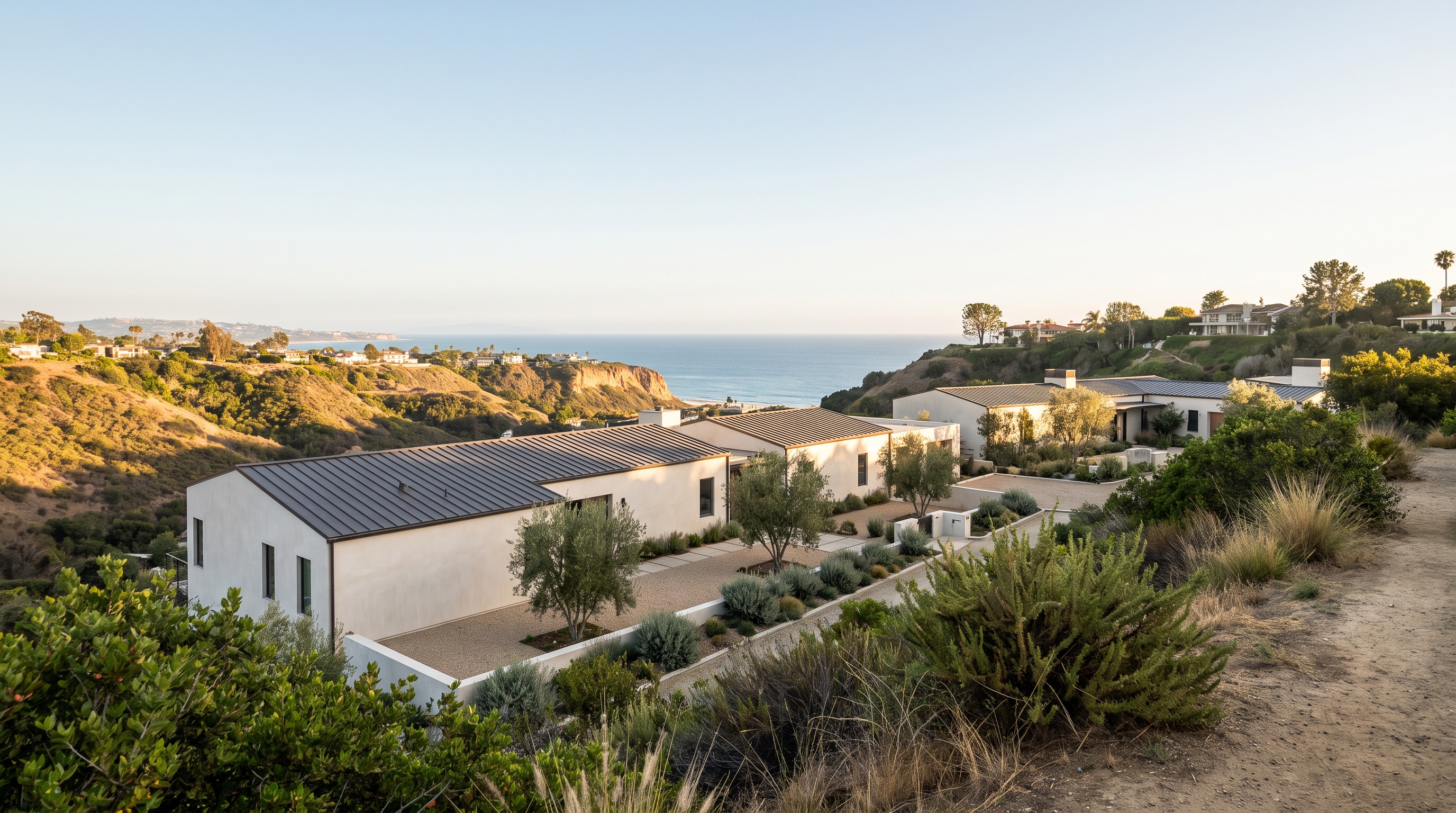

Pacific Palisades
Seaside slopes, fault and landslide zones under Very High fire hazard, and the California Coastal Commission in part.
34°03′ N · 118°32′ W
Malibu
Ocean frontage, landslide zones and citywide Very High fire hazard, and the California Coastal Commission throughout.
34°02′ N · 118°47′ W
Brentwood
Hills north of Sunset, Very High fire hazard and landslide risk, and the Baseline Hillside Ordinance in part.
34°04′ N · 118°29′ W
Santa Monica
North of Montana, fault-rupture and liquefaction zones, and the California Coastal Commission on the seaward side.
34°02′ N · 118°30′ W
Venice & Silicon Beach
Shoreline salt air, mapped ground hazards and coastal flooding, and the California Coastal Commission across much of it.
33°59′ N · 118°28′ W
The Heritage & Architectural Districts
Architectural heritage marks these neighborhoods. Historic Preservation Overlay Zones (HPOZs), design review boards and view-preservation ordinances regulate alterations. We document each house in exact detail and redesign closed historic kitchens as open culinary suites while protecting the original architecture.

West Hollywood & Beverly Grove
Flat blocks across two cities, mapped ground and flood hazards, and HPOZs on the Los Angeles side.
34°05′ N · 118°23′ W
Hancock Park & Windsor Square
Streets within salt-air range, mapped flood zones, and two City of Los Angeles HPOZs.
34°04′ N · 118°20′ W
Trousdale Estates
Hillside terrain, a Very High fire zone end to end, and City of Beverly Hills Trousdale Estates standards.
34°06′ N · 118°24′ W
Los Feliz
Inland hills, the Hollywood fault and a Very High fire zone, and City of Los Angeles hillside limits.
34°07′ N · 118°17′ W
Silver Lake
Architectural enclaves on hillsides, a Very High fire zone in part, and LAFD's 200-foot clearance rule.
34°05′ N · 118°16′ W
Cheviot Hills
Salt air within ten miles, mapped flood and ground hazards, and California Energy Code Climate Zone 9.
34°03′ N · 118°24′ W
Pasadena (San Rafael / Oak Knoll)
Lots beyond salt-air reach, liquefaction and Very High fire zones, and the City of Pasadena's Hillside Overlay District.
34°08′ N · 118°09′ W
San Marino
Inland ground, a fault-rupture zone along the Raymond fault, and the City of San Marino's landscape water ordinance.
34°07′ N · 118°07′ W
La Cañada Flintridge
Inland slopes, a Very High fire zone citywide, and City of La Cañada Flintridge hillside development rules.
34°13′ N · 118°12′ W
The Valley & the South Bay
Large lots and condensed South Bay parcels shape these corridors. Lot-coverage limits and the allowable floor-area ratio (FAR) set the buildable envelope. We design comprehensive gut renovations and landscape and hardscape expansions, maximizing that ratio while preserving spatial flow.

Calabasas & Hidden Hills
Ridges and slopes, Very High fire hazard under state and local responsibility, and City of Calabasas hillside rules.
34°09′ N · 118°40′ W
Encino, Sherman Oaks & Tarzana
Hills south of Ventura Boulevard, Very High fire severity and landslide zones, and LAFD clearance to 200 feet.
34°09′ N · 118°30′ W
Studio City & Toluca Lake
Hillside and liquefaction ground, partial Very High fire mapping, and the Baseline Hillside Ordinance in Studio City.
34°09′ N · 118°22′ W
Manhattan Beach & Hermosa Beach
A beachfront edge, mapped coastal flooding on the sand, and the California Coastal Commission along the shore.
33°53′ N · 118°24′ W
Palos Verdes Estates & Rolling Hills
An oceanfront peninsula, landslide and Very High fire hazard, and LA County Fire across all three cities.
33°46′ N · 118°22′ W

Where to go next
The other three parts of the firm.
The Principal
Who leads the firm

The Meridian Engine
Knowledge base and AI
Operating Territories
You are here
The Portfolio
Case studies
Coming soon


Or return to the page above
